
Raster Maps in GruntiMaps
Today we announce new support for raster maps in GruntiMaps!
Even though we said GruntiMaps only supports MapBox Vector Tiles (MVT), in fact, it also can serve Raster MBTiles in both PNG and JPG formats. In terms of why we implemented raster support, the answer is simple. We wanted to give developers more versatile options to create the maps they need.
While we haven’t yet implemented importing of raster files in the server itself, adding a new raster layer is pretty easy.
Right now, you can create a raster tile database using the tools in GDAL. For some examples, have a look at https://www.gdal.org/frmt_mbtiles.html
Once you have created the MBTiles file, you can simply copy it into the GruntiMaps tiles directory, and GruntiMaps will see it as a new layer and be able to serve it up quite happily.
For those who are asking themselves, “what is a raster map?” Here’s a rundown.
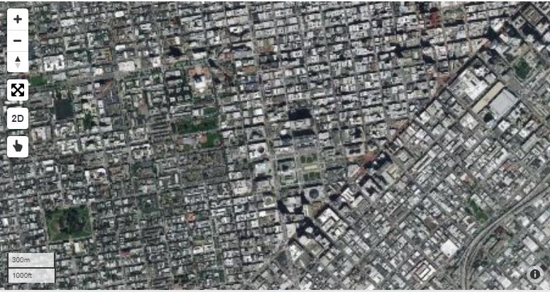
A raster map is an electronic map image made up of a set number of pixels. Raster data is cell-based and this data category also includes aerial and satellite imagery. Raster images are useful because they provide a lot of detail that is hard to capture as vector features. Raster maps can also be non-photographic which could depict different trends over an area.
Discover how GruntiMaps can benefit you. Download it today or contact our team.